Today I am traveling home.
I am a child of the desert, but, as an adult, parched after decades of desert living, I sought out the rainforests. Cannon Beach, Seaside, Astoria, Portland, Eugene, Vancouver, Seattle…all reminiscent of the towns surrounding the small island where genocide nearly ended my family tree, the towns where some of my fondest summertime memories were made.
There’s a truism among ramblers: if you move away, it’s your responsibility to come back to visit.
As a young rambler, I took my responsibility seriously…three or four times each year, I would pack my bags for a long weekend trip back to the family.
So the road I travel today is one that I frequently (jokingly) claim I could drive with my eyes closed. Still, I have a headlight that doesn’t work, and all joking aside, I don’t really want to limp the last few miles into Reno in the dark with one headlight. Fortunately, it is summer and the days are long!
Leaving the comfort of my in-law’s Vancouver home, I hop onto the I-5 and quickly begin putting miles onto the odometer. This is not a blue highway. The miles zip by.
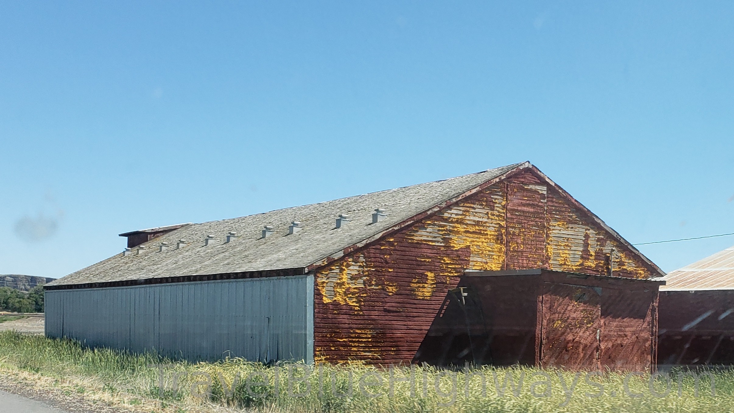
Portland, Tualitin, Wilsonville, Woodburn, and Salem, where Oregon’s legislatures meet under the obligatory capitol dome, quickly pass into my rearview mirror. Corvallis, where one can find the Oregon State University (not to be confused with the University of Oregon), is far off the interstate, but the fields bordering the highway along a stretch between Salem and Eugene belongs to the university. One of my favorite things about this stretch of highway is that the cultivated fields are neatly labeled in highway sign sized lettering, answering my ever-present question when my travels take me past swaths of tilled and sown land: “what do they grow there?”
Just a few miles down the road from Corvalis along the I-5 is the town of Eugene, where I spent my college years. The single exit almost passes by without notice, and, suddenly, the exit toward Oakridge and Klamath falls is upon me. While I could stay on the I-5 and still reach my destination, today, I am anxious to be off of the red lines and onto the blue highways, so I turn onto Oregon Highway 58, and pause to stretch my legs at the historic Lowell covered bridge. As soon as I approach the exit, my mood lightens in anticipation of the drive ahead of me!
For the next six or so hours, I will travel a series of blue highways through a patchwork of government-maintained parks and forests until I emerge on the far end in Susanville, California. These particular blue highways know my history in ways a human never could. I’ve traveled these roads as a child. I’ve traveled these roads as a teen. I’ve traveled these roads with loved ones who are forever gone. I’ve traveled these roads joyfully. I’ve traveled these roads in winter, when they were barely visible against the blanketed landscape or when they were covered in the iron-rich sand used by road crews, a jeweled red path leading through a winter wonderland. I have traveled these roads in tears as I headed toward funerals or away from a broken heart. I have traveled these roads in hope as I started new chapters of my life. I have traveled these roads in despair when my failures left me nowhere else to go. These roads are my home just as much as any roof I’ve slept under.
Coming into Susanville on Highway 44, there is a series of turns that hug the foothills, providing the traveler with an expansive view of the valley below. Although the valley is a dustbowl in the summer, it is not unpopulated. Swaths of land are neatly marked and agricultural plots show up as circles defined by wheeled irrigation systems that pull water from deep below ground to spread into the desert air, coaxing crops like corn and alfalfa into growth. Amid the patchwork of delineated acreage, on chilly winter mornings, one can see smoke rising from the land, marking the homesteads of desert hermits. On this summer evening, though, the homesteads fade into the landscape.
When I first started traveling these roads, I would have stayed on 44 until I emerged into old town Susanville, but now there’s a bypass road that relieves traffic on the older roads, and, as it is flatter and less curvacious, perhaps it also minimizes traveler mishaps during winter months. The bypass route drops me onto 395, where I stop for coffee and gasoline before beginning the much-anticipated final leg of my journey.
The stretch of 395 from Susanville to interstate 80 provides a beautiful look at scenery and geography is exemplary of the Great Basin area. This stretch of the two-lane highway is densely populated by truckers, and vacationing travelers might find themselves traveling between semis for miles at a time. There are many passing lanes, but there are always people who are in a great big hurry to get somewhere, and the most experienced will confidently cross the yellow dotted line into the oncoming traffic lane to move ahead in the lineup. I set my cruise control and watch the scenery.
I drop off the 395 and onto Interstate 80 to travel the home stretch into town. Here, at the corner of 395 and I-80, is my childhood home. It’s still owned by my family, and, later in my journey, I will turn down the gravel road that leads to a world full of tweenage memories, but, today, I am ready to stop for the day, so I keep driving, past Bordertown, past Stead, past Golden Valley, and into the heart of town, each mile accompanied by decades of memories.
Finally, I slip onto an exit and onto a surface street, following it to a familiar driveway. Today, I am home with my family again.